Lake Hughes Town Arena Vacant Lot Los Angeles County
Overview
- 10696455
- Recreational & Hunting Land, Vacant Land
- 0.11
Details
Updated on November 8, 2021 at 8:23 pm- Property ID: 10696455
- Price: $16,000
- Land Area: 0.11 Acres
- Property Type: Recreational & Hunting Land, Vacant Land
- Property Status: Cash Sale Only
Address
Open on Google Maps- City Lake Hughes
- State/county California
- Area Los Angeles County
- Country USA
Description
LAKE HUGHES
TOWN AREA
VACANT LOT
LOS ANGELES COUNTY
This Land is only 4.6 miles to Lake Hughes and 5.4 miles to Elizabeth Lake. Como to Quality of Life and live the Gold Rush good old times.
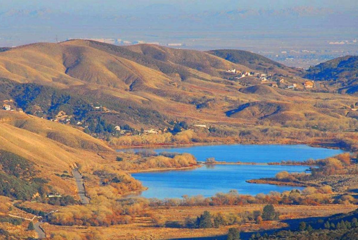
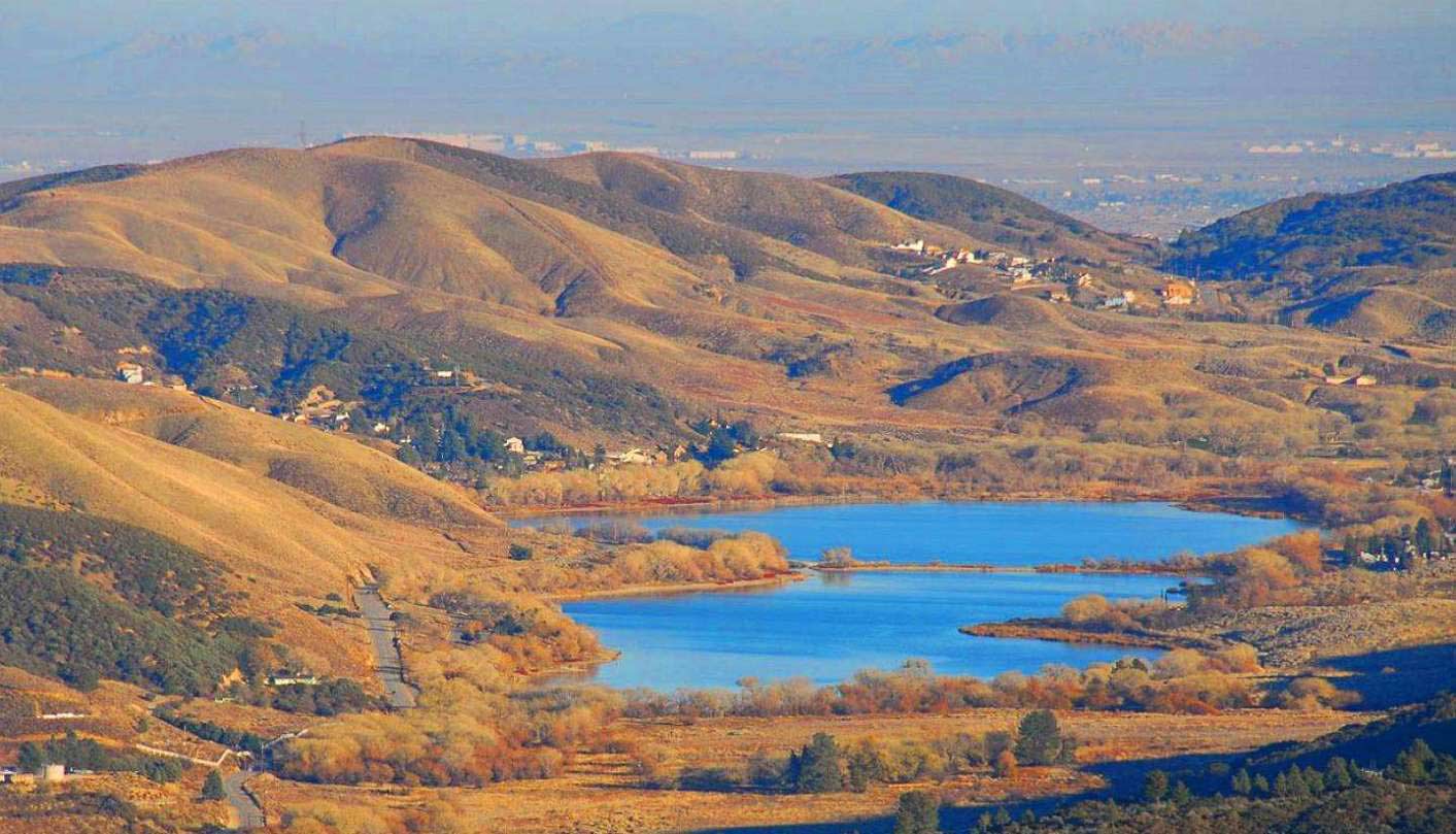
Lake Hughes is an unincorporated community in the foothills of the Sierra Pelona Mountains, northwest of Palmdale and the Santa Clarita Valley, in the Angeles National Forest. It is on the sag pond waters of Hughes Lake and Elizabeth Lake (Los Angeles County, California). The community is agricultural in character, with a population of 649 at the 2010 census, but also has a strong recreational element centered on its four lakes. The town of Lake Elizabeth actually resides within Lake Hughes, sharing the same zip code. They together make the entire town of Lake Hughes.
Nearby Elizabeth Lake, known then as La Laguna de Chico Lopez, was a watering locale on Spanish colonial and Mexican El Camino Viejo in Alta California and the Gold Rush era Stockton – Los Angeles Road. From 1858 to 1861 Lake Hughes was between the Widow Smith’s Station and Mud Spring stage stops of the Butterfield Overland Mail. The lake area was to the west of Rancho La Liebre, an 1846 Mexican land grant now part of Tejon Ranch.
Lake Hughes was named for Judge Griffith (Patrick) Hughes, who homesteaded the area around the turn of the 20th century.[3] Settlers were drawn to the area because water was more plentiful than in the drier Antelope Valley.
Lake Hughes is centered on the intersection of Pine Canyon Road and Lake Hughes Road, both of which are county highways, and ends at the Andrade Corner. The community includes four bodies of water Elizabeth, Munz, Hughes, and Quail lakes. Lakes Hughes and Elizabeth which in the early days dried up periodically are in the canyons along the San Andreas Fault. Lake Hughes was previously known as West Elizabeth Lake
In the spring of 1947 Roy Rogers purchased a new retreat at Lake Hughes. He named his home the Sky Haven Ranch and it is still referred to as this today. The home of Roy Rogers and Dale Evans in Lake Hughes served as an ideal location for their wedding party, where they hosted 600 guests, including Roys sisters and parents, who all lived in California at the time.
Cheryl Rogers, the first Rogers child of school age, began 1st grade at Lake Hughes School. The school was a large one-room house up the school road (a dirt road) from the trading post, which consisted of the post office and a filling station.
Paul Koslo, a notable actor, is currently a resident of Lake Hughes, along with his wife and daughter.
George Goodchild, Movie Producer and Art Director of the hit cartoon show “The Fairly Oddparents” is currently a resident of Lake Hughes, Along with his wife and son.
DONT MISS OUT ON THIS GREAT OPPORTUNITY!!
Property Profile
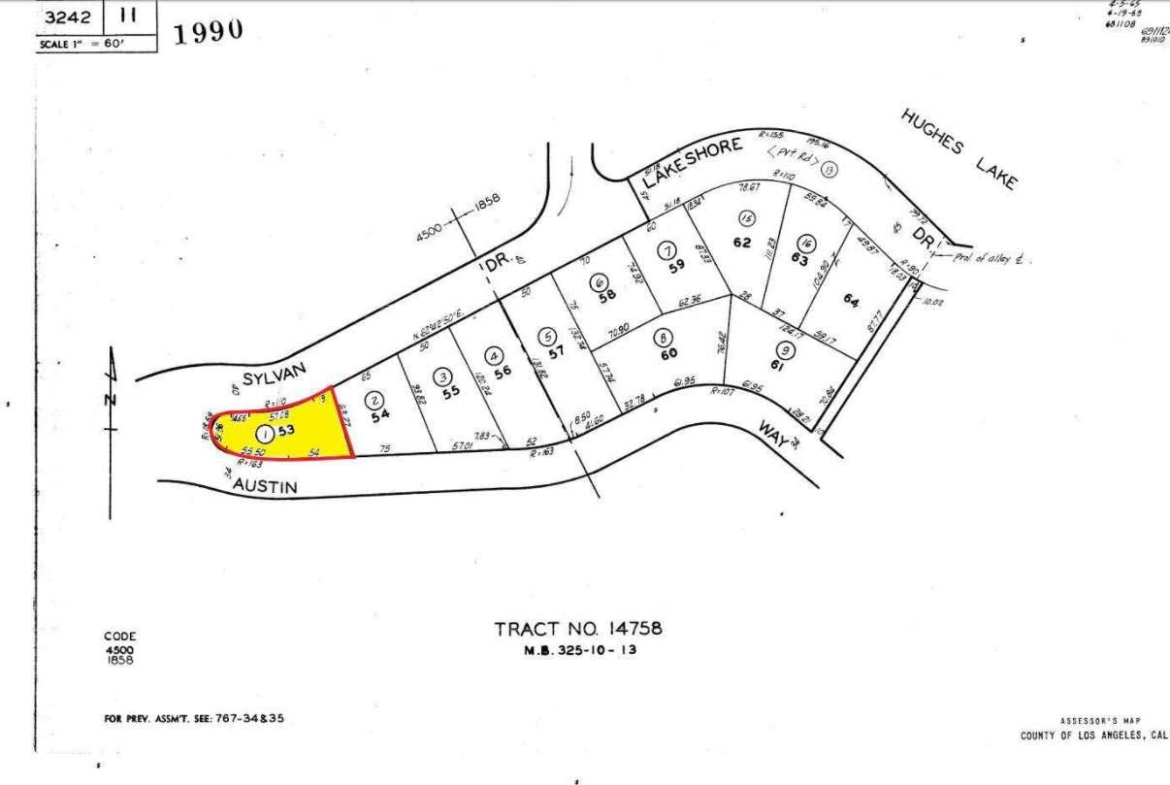
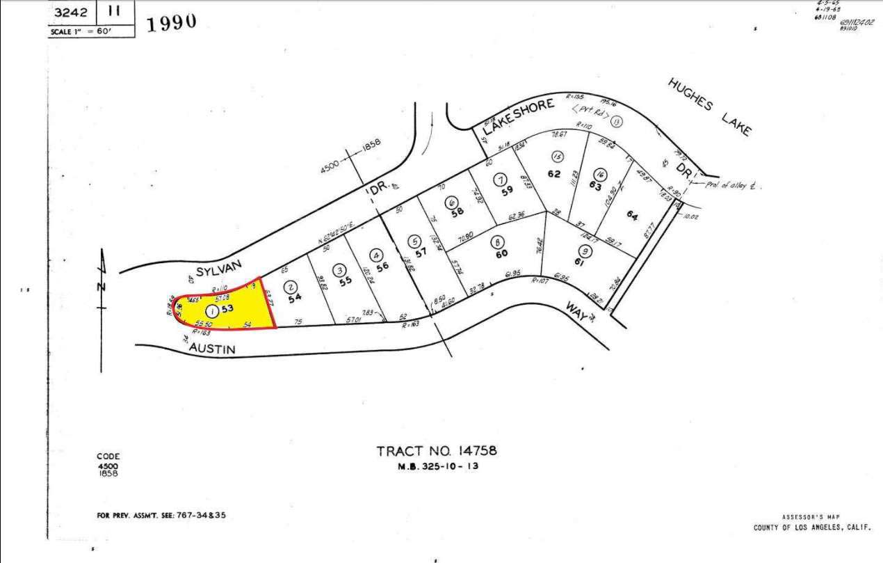
APN: 3242-011-001
Use: Vacant
Lot #: 1
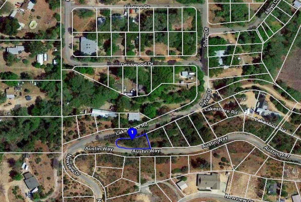
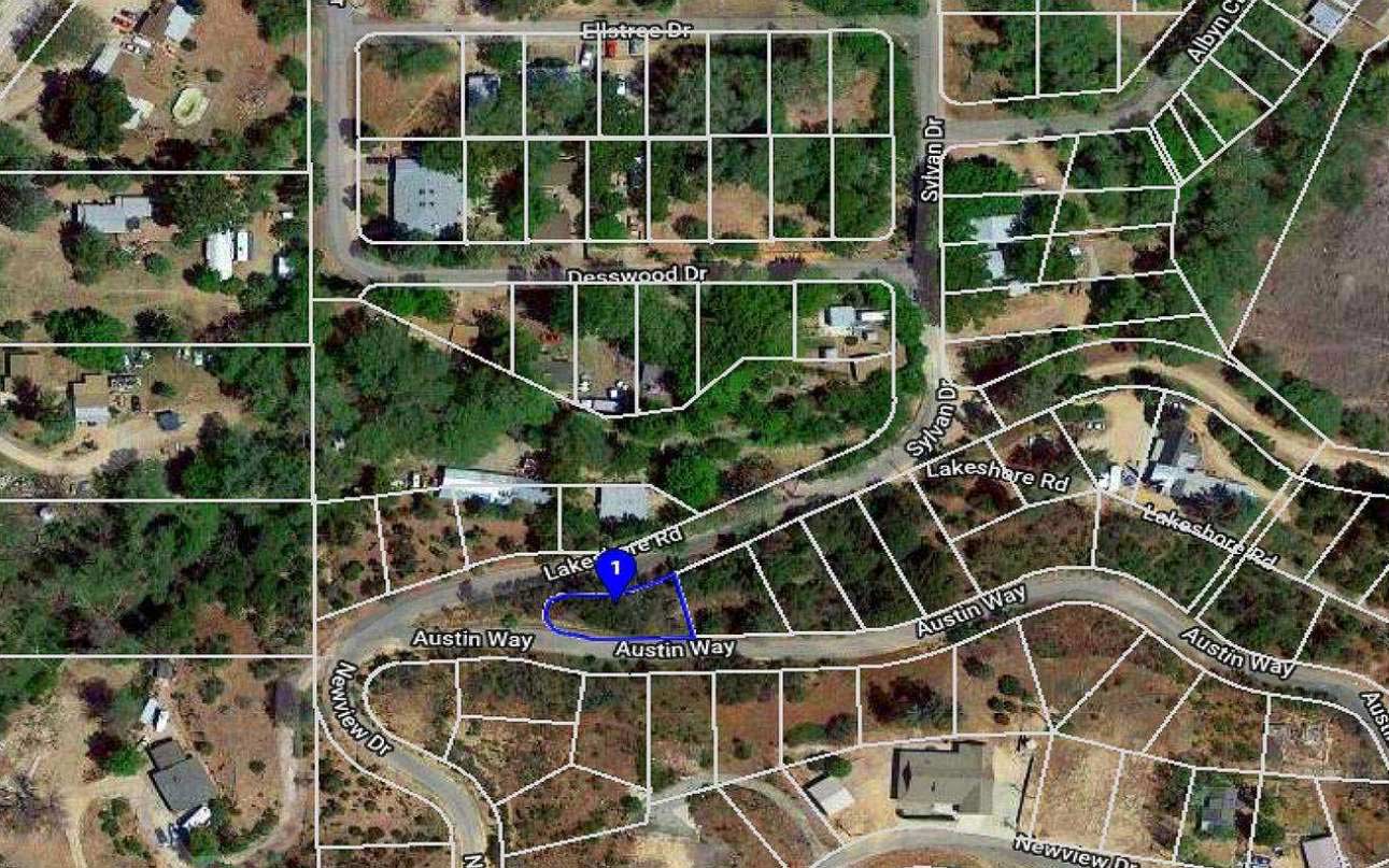
Dimensions: 109 OM Austin Way.90 on Sylvan Dr. 52 left side of property. 63 right side of property line.
Lot Size: 5,149 sq. ft.
State/Province: California
Doc Type: Grant Deed
Taxes: Only $22.00 per year.
County: Los Angeles
Zip Code: 93532
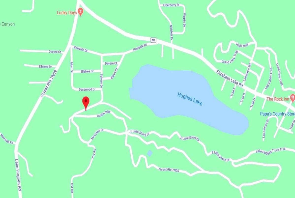
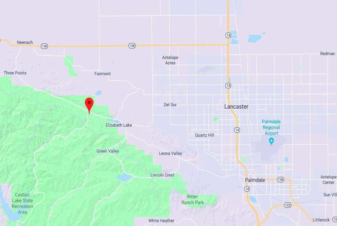
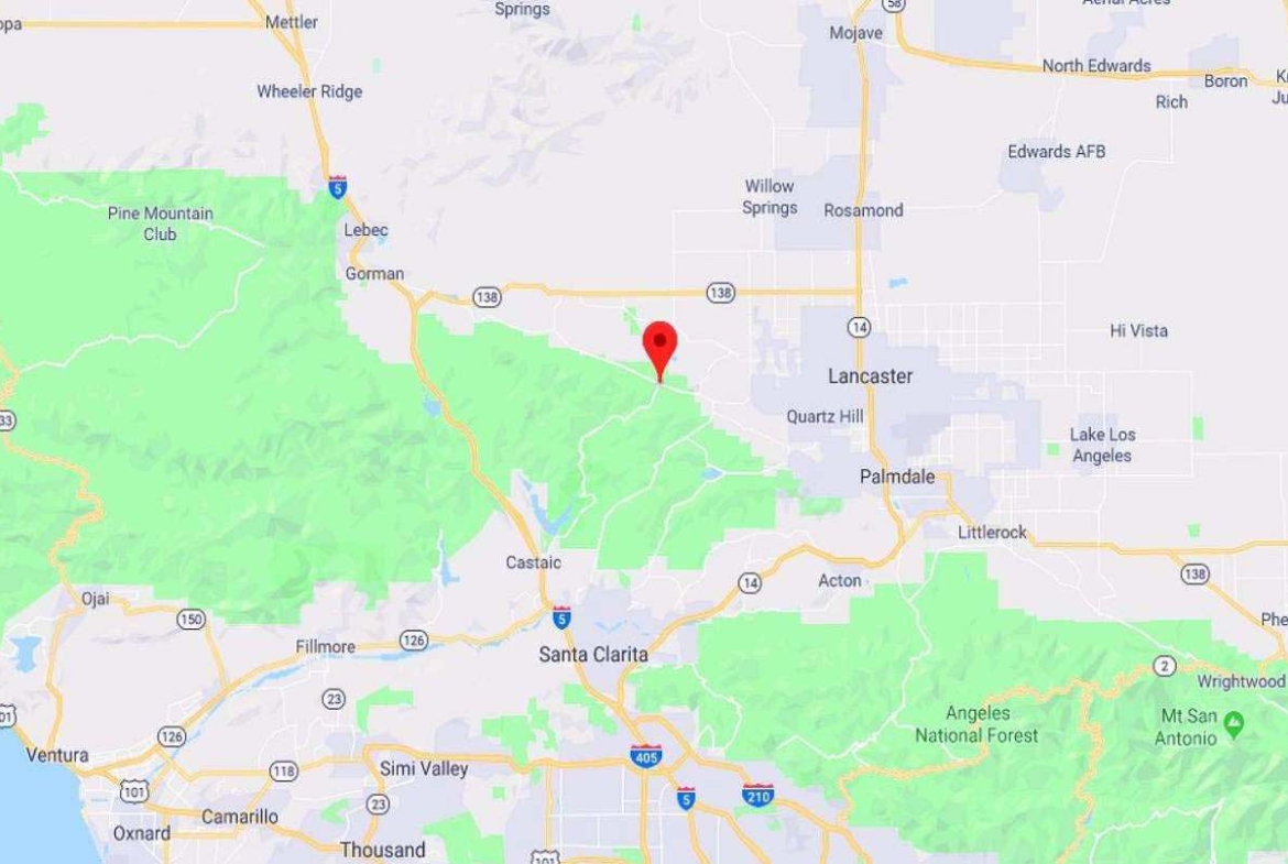
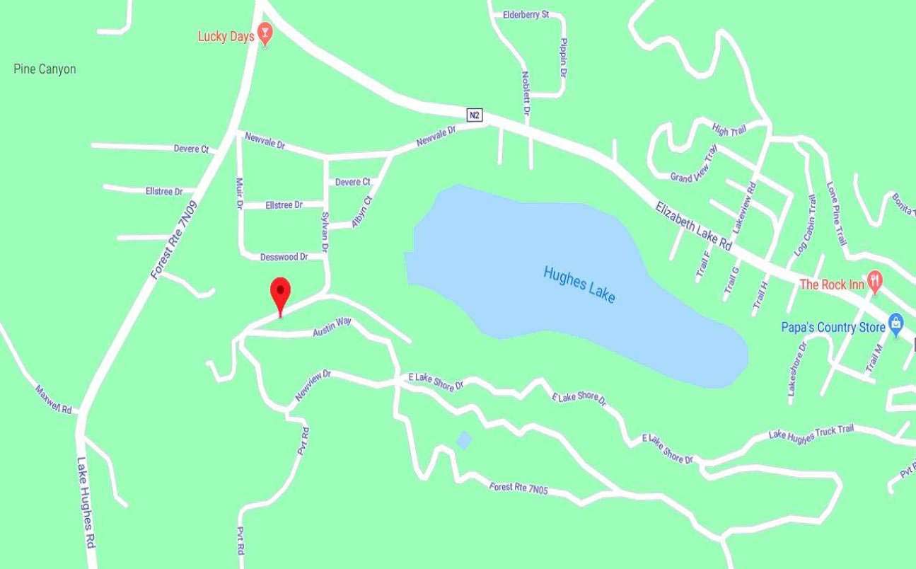
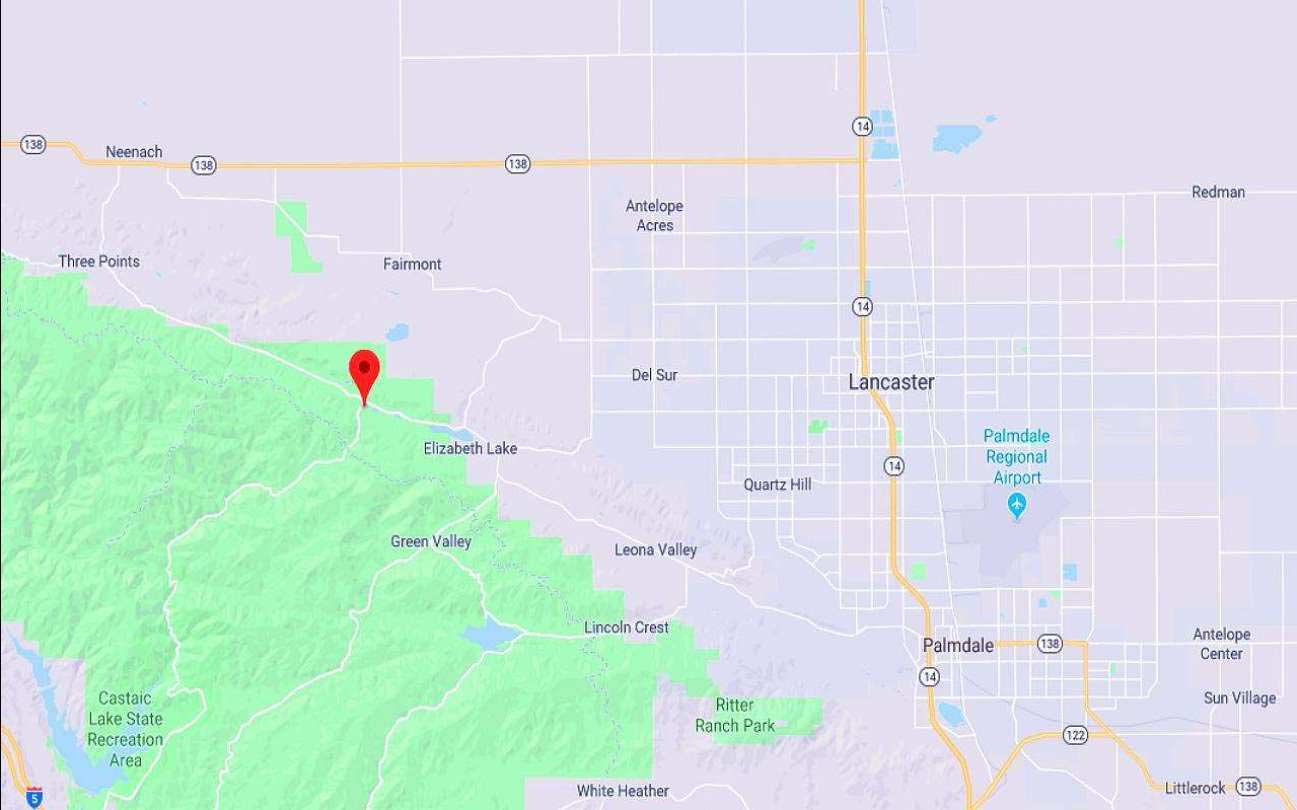
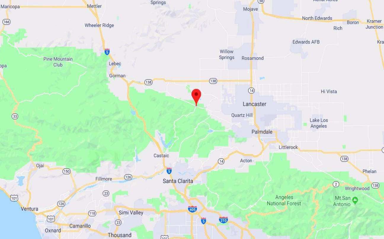
City/ Location:Corner of Austin Way & Sylvan Dr. Lake Hughes, Ca. 93532 See Map.
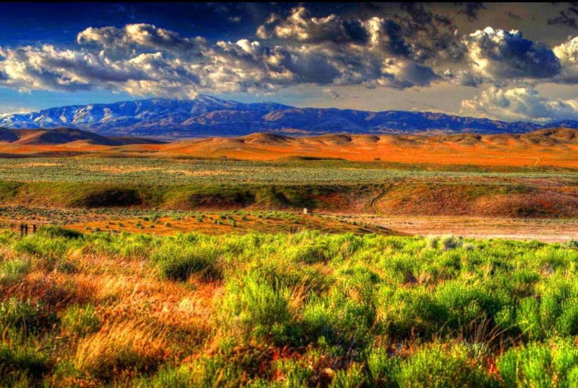
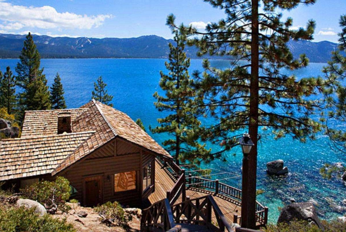
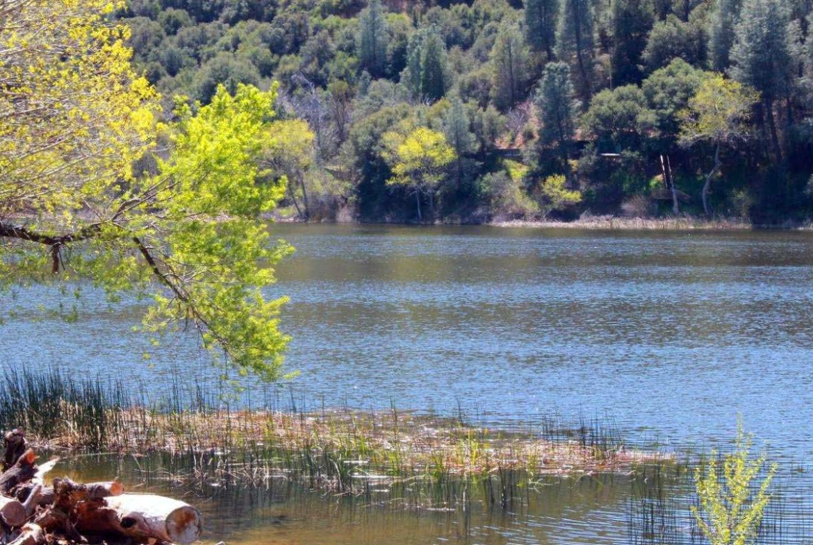
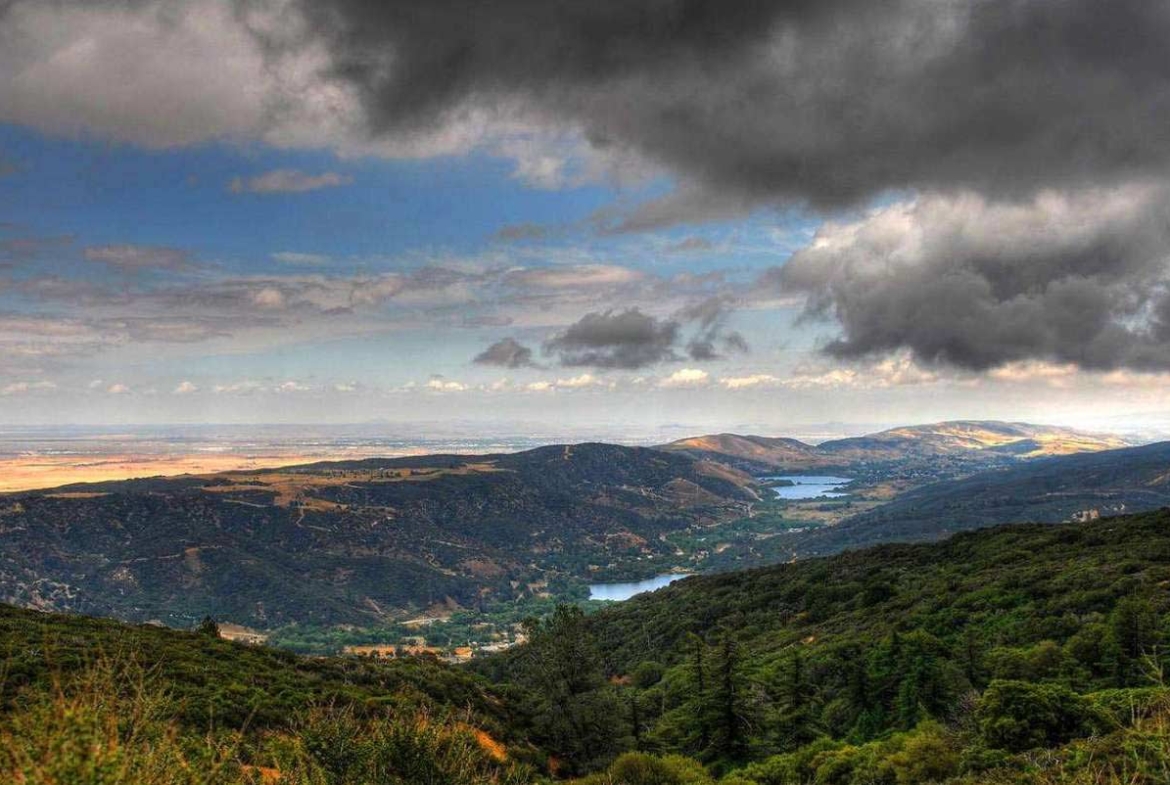
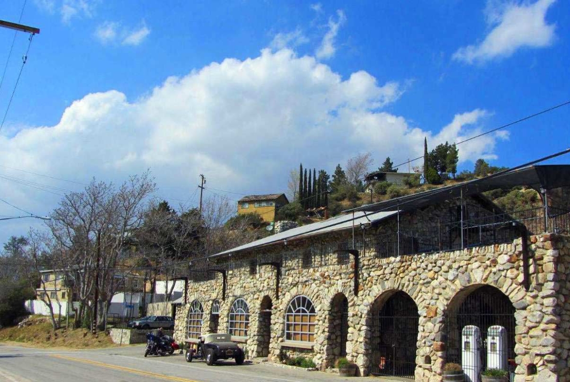
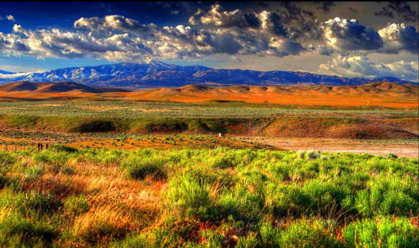
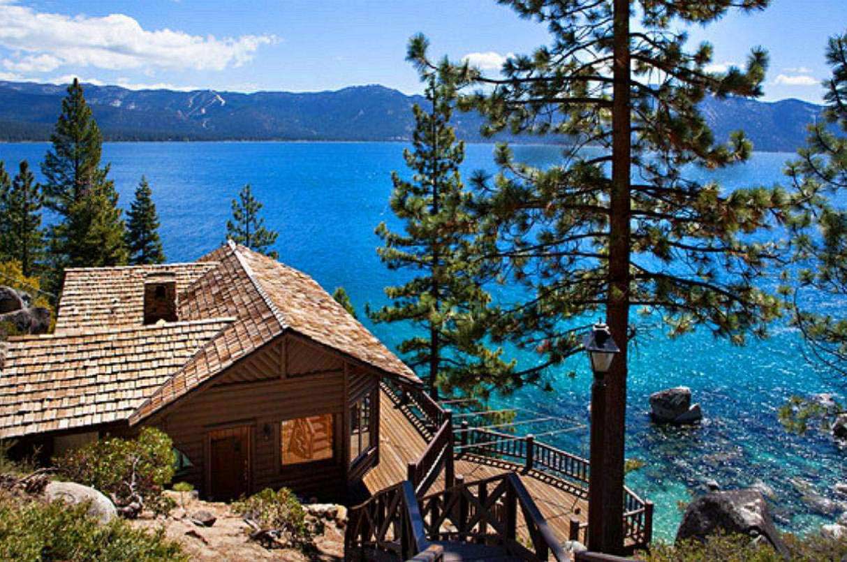
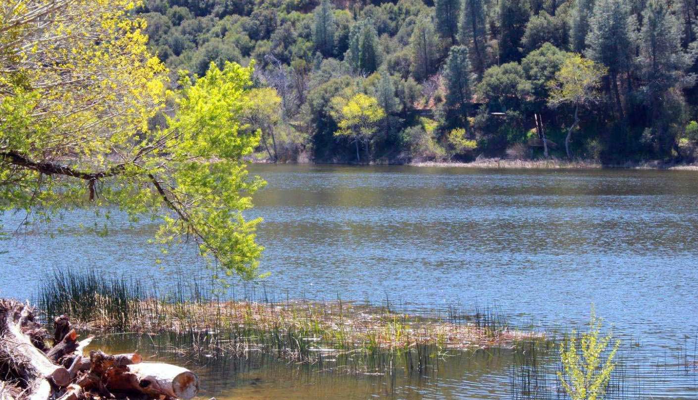
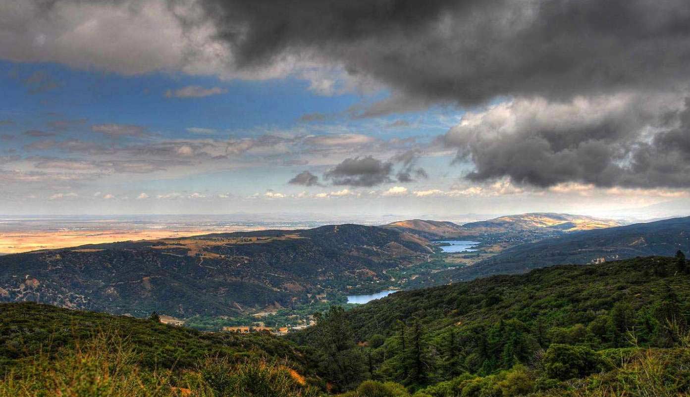
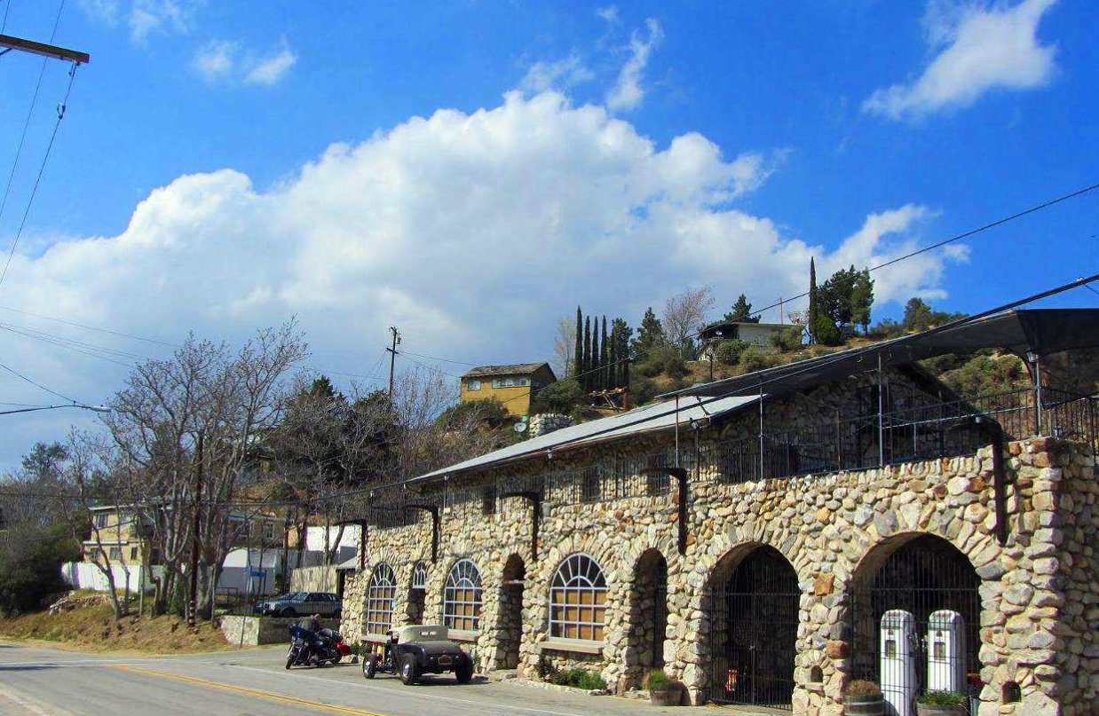
The photos 2, 4, 6, 8, 10, and 12 show the actual property and the surrounding lots. Photos 1, 3, 5, 7, 9, and 11 shows general area.
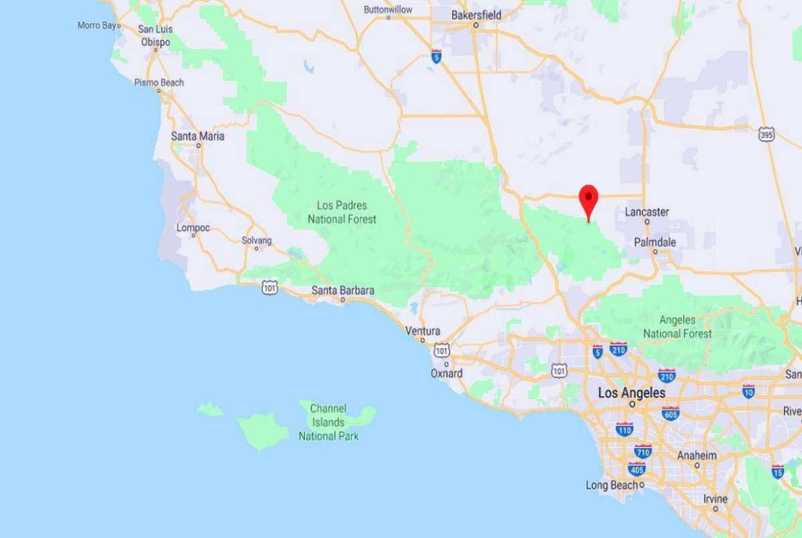
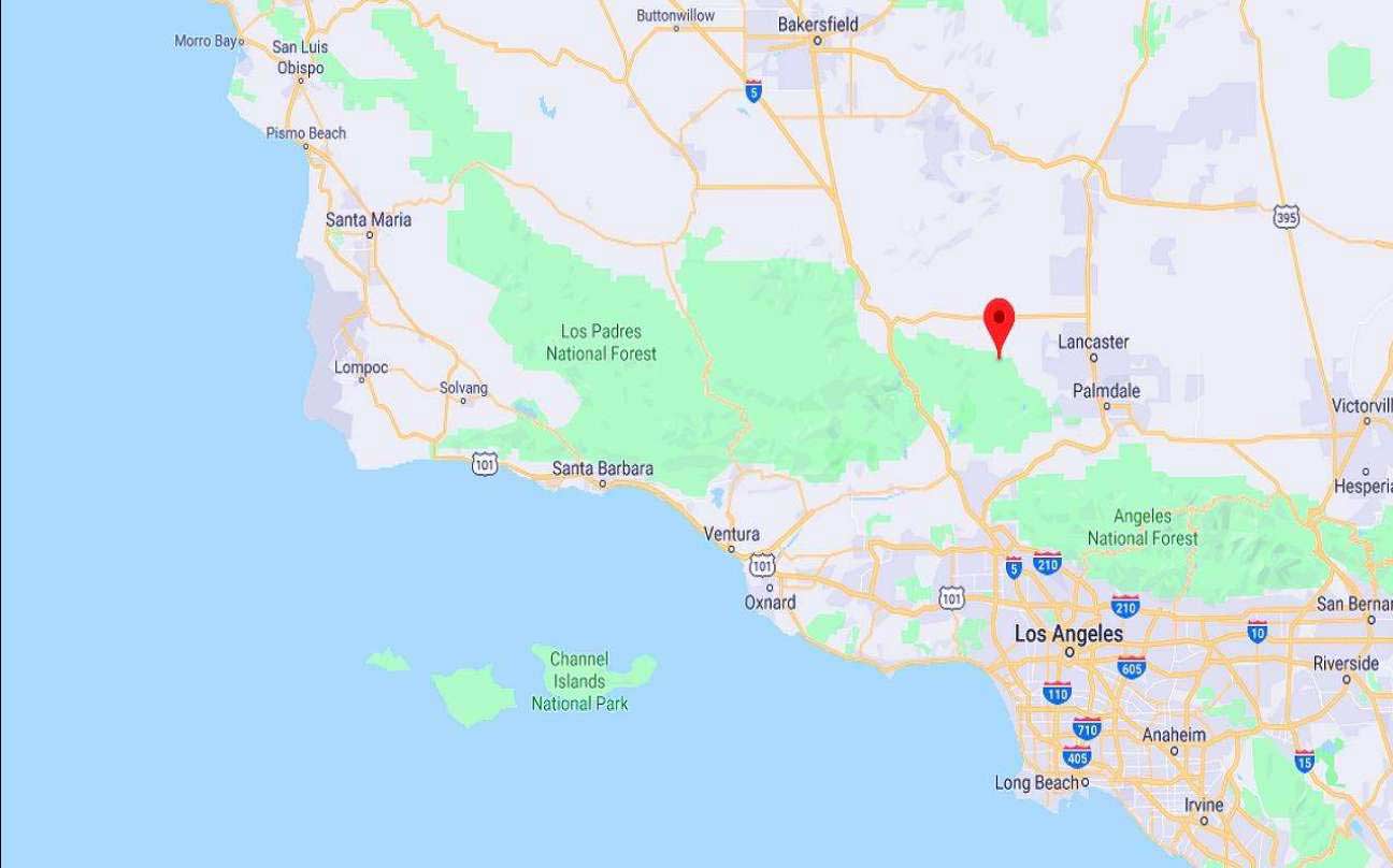
We have also included a County Parcel Map and an aerial Map to help you. The assessor’s parcel number to the property in Kern is APN# 3242-011-001
Here is a link (including the GPS coordinates) to view the location of the property on Google Maps:
34.674959,-118.451754
(You may have to copy and paste this to use it.) Once the map pops up, simply use the zoom tool on the left side of that screen to view the map in more detail. You can even view an aerial photo by clicking on the Satellite tab in the upper right portion of that screen.
All information we have on this property is disclosed within the content of the listing page. Any and all other information on this property should be directed toward the city or county of which the property is located in. Your due diligence should be performed prior to bidding, to ensure the property meets your needs and criteria.

