16 Acres HUGE Property in Mount Tom Peak INYO COUNTY
Overview
- 10680649
- Recreational & Hunting Land, Vacant Land
- 16.28
Details
Updated on November 6, 2021 at 1:22 am- Property ID: 10680649
- Price: $27,000
- Land Area: 16.28 Acres
- Property Type: Recreational & Hunting Land, Vacant Land
- Property Status: Cash Sale Only
Address
Open on Google Maps- Address Inyo County, CA
- City Bishop
- State/county California
- Area Inyo County
- Country USA
Description
16 ACRES HUGE PROPERTY IN
Mount Tom Peak
INYO COUNTY
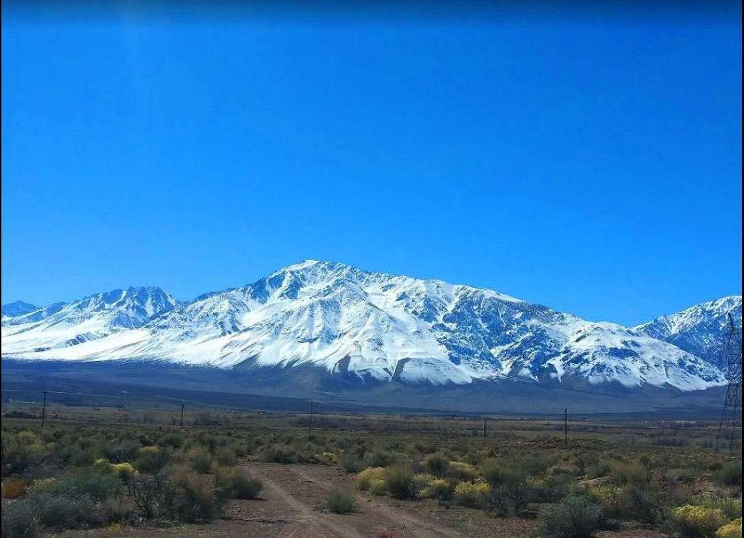
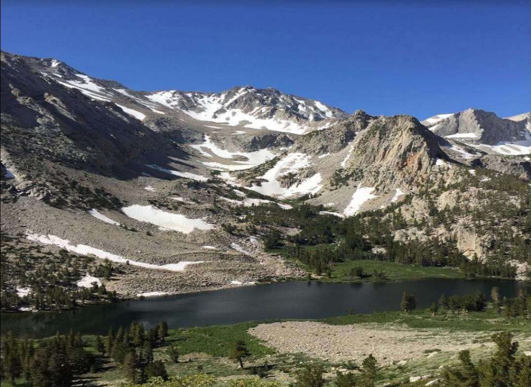
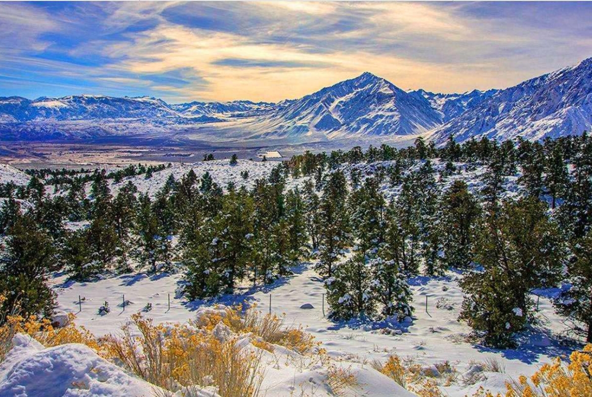
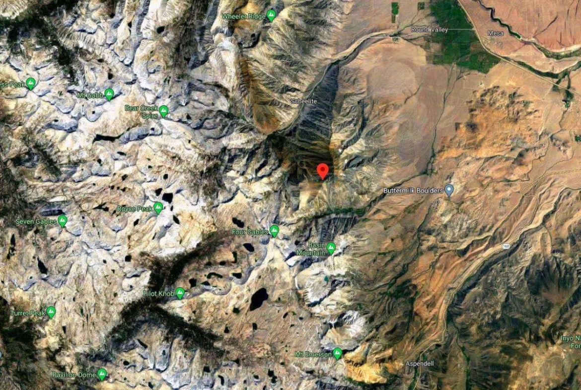
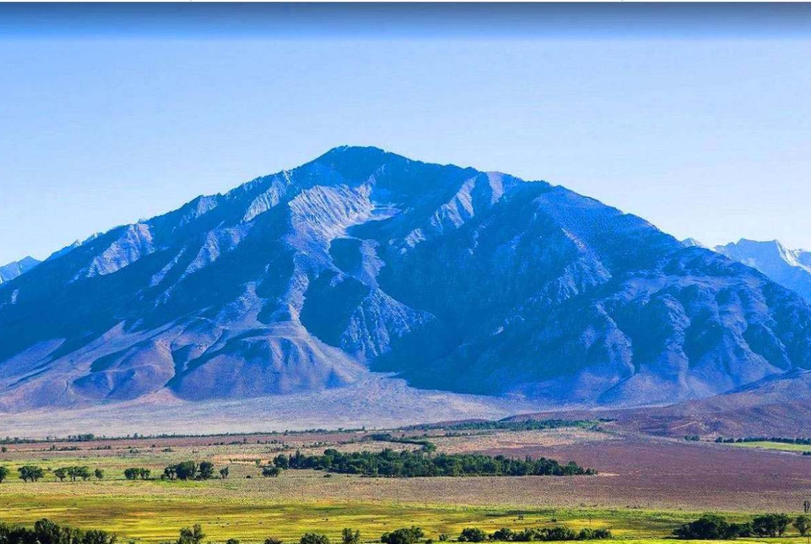
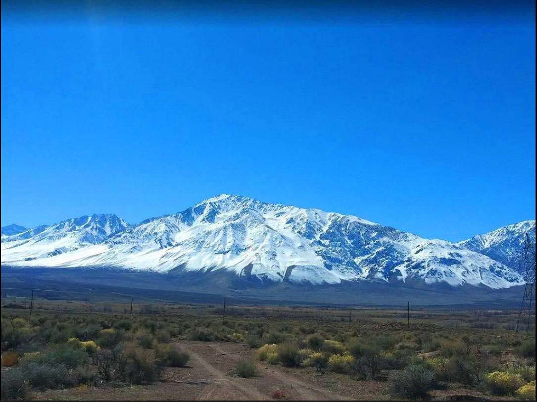
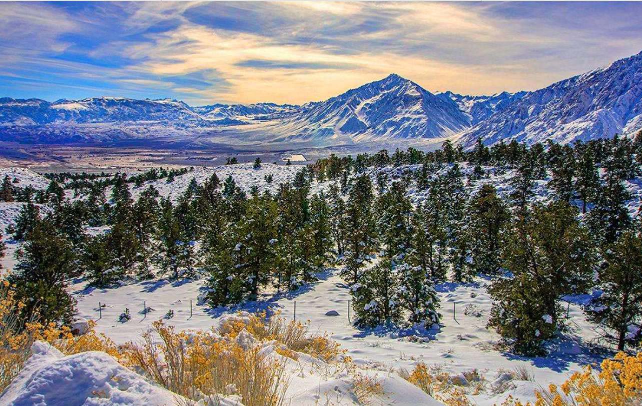
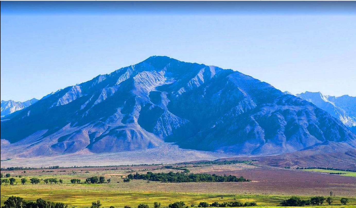
This HUGE Property is right by Mount Tom is a large and prominent peak near the city of Bishop in Inyo County of eastern California. It is in the Sierra Nevada and east of the Sierra Crest. The mountain is also in the John Muir Wilderness.
Along with its neighbor to the south, Basin Mountain, it dominates the western skyline from the upper Owens Valley.
The Owens Valley, at the base of Mt. Tom, is a little over 4,000 feet, and the summit of Mt. Tom is 13,658, for almost 10,000 feet of relief. The common routes up Mount Tom are not technically difficult, most are class 2-3, but they are all strenuous and long. Summiting Mount Tom is possible in a single day, but should only be attempted by those in very good physical condition.
Horton Creek Canyon is a common out and back hiking route and 14 miles out and back trail with 5,652 feet of elevation gain. The trailhead at Horton Creek Canyon is 8000 feet in elevation, it is 3.6 miles hike with about 2000 feet of elevation gain to reach Horton Lake. Their campers may, with an overnight wilderness permit, choose to spend the night. From Horton, Lake hikers head up the southern ridge of Mount Tom to the summit with 1,750 feet of off-trail class 2 scrambling. Mount Tom is a popular backcountry ski descent in the Spring years when there is enough snow. Elderberry Canyon is the most popular ski descent. It is 7000 vertical feet of skiing and is steeper towards to summit.
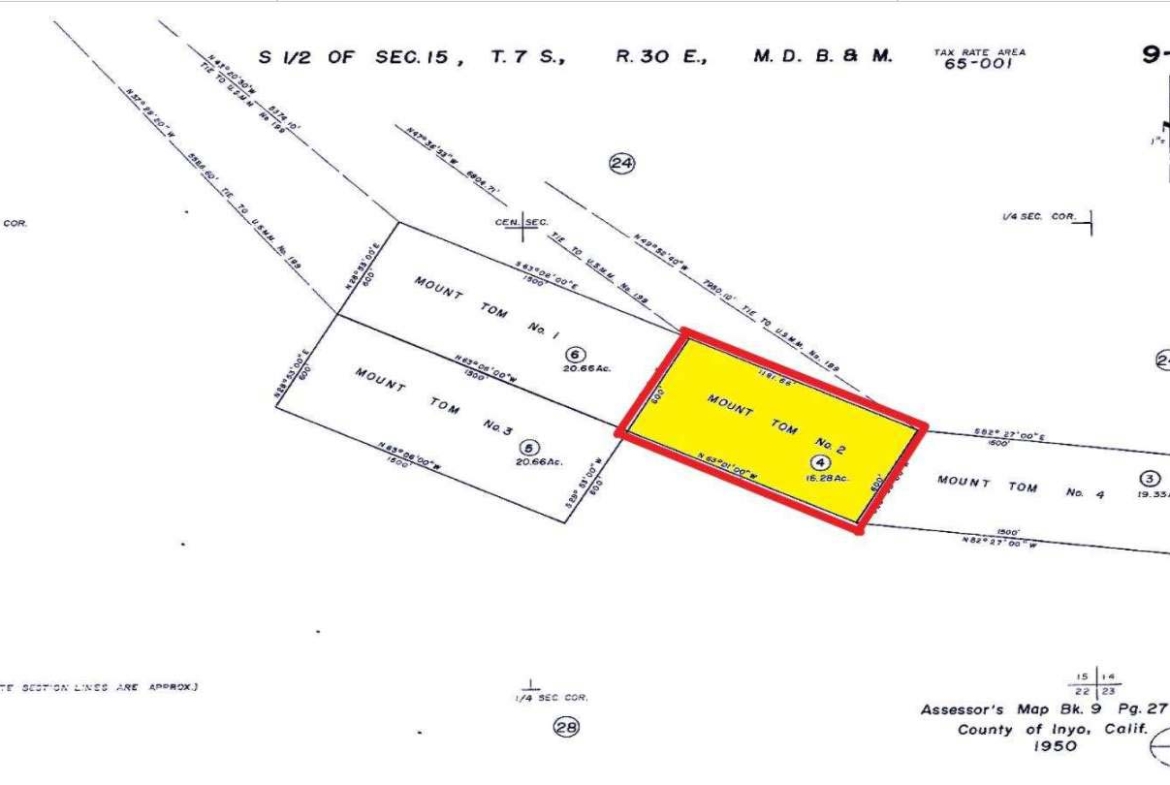
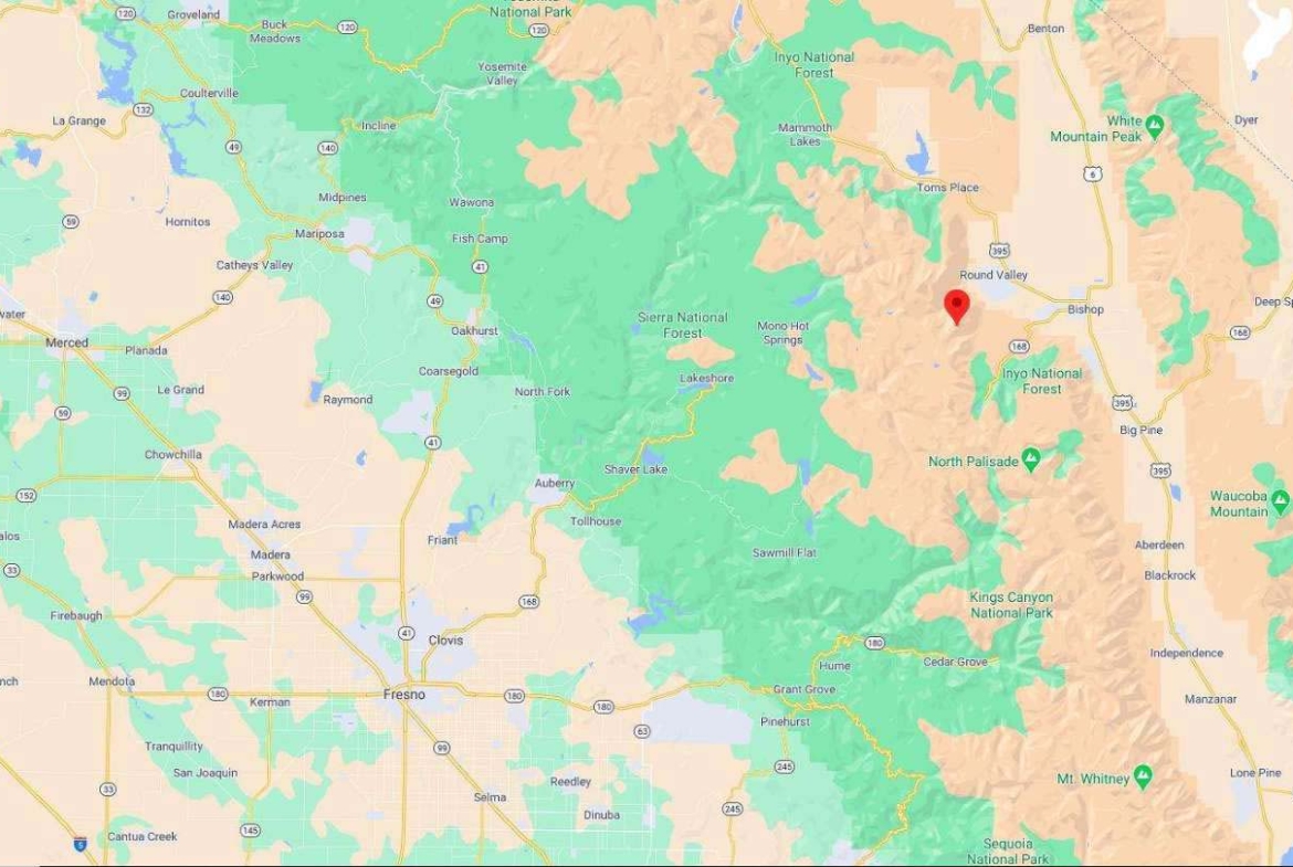
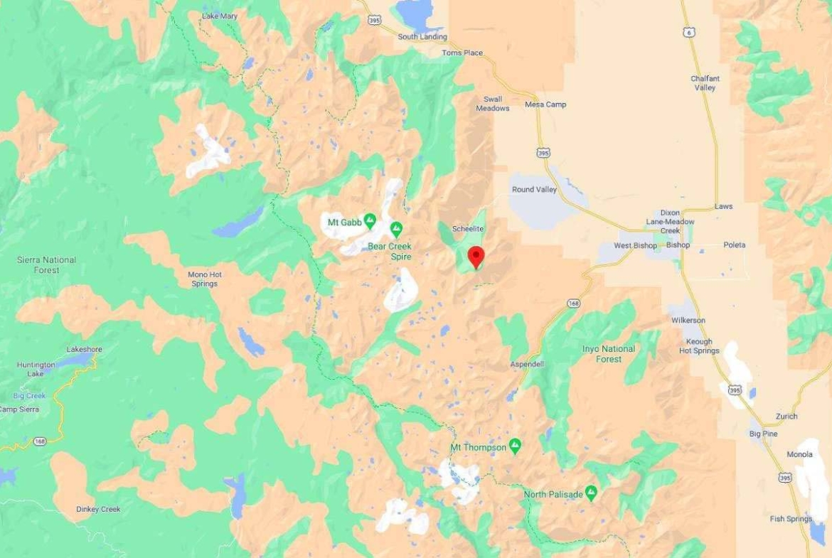
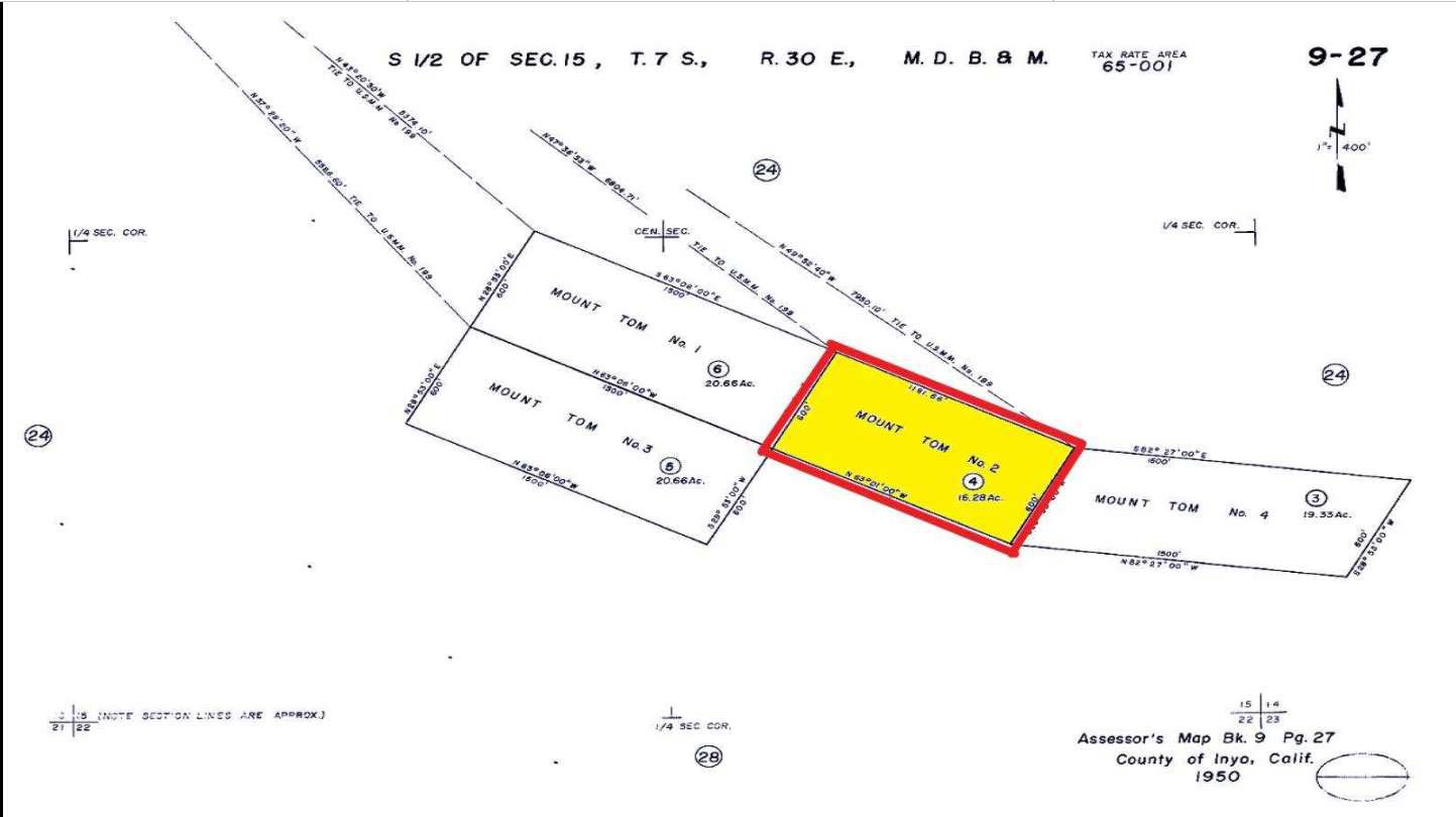
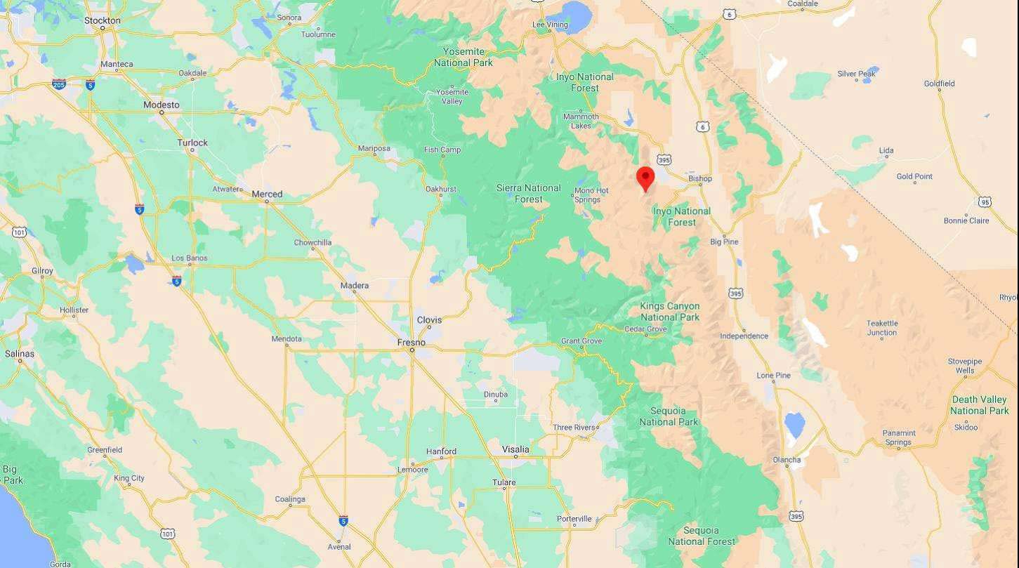
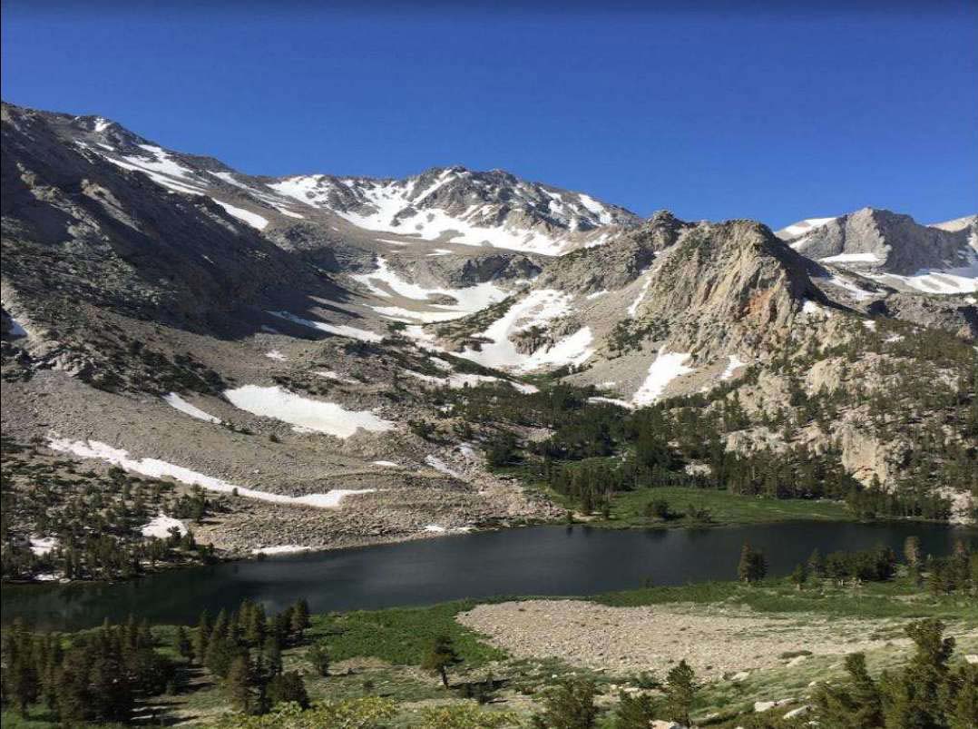
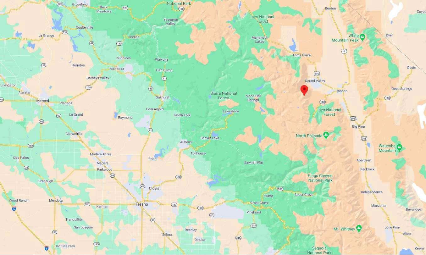
Attached is in Inyo County Assessors Map of the Lot as well as some maps of the area and some pictures.
The property will be conveyed by a California Grant Deed which is the most commonly used deed in California.
Values are on the rise!
Dont miss out on this one!
Property Profile:
Property Address: Inyo County, CA.
APN: 009-270-04-00
Assessed Property Value: $17,275
Type: Vacant Land
Lot Size: 16.28 Acres
HOA: NO HOA fees.
State/Province: California
Use: Vacant Land
Taxes: Only $ per Year
County: Inyo
Deed: Grant Deed
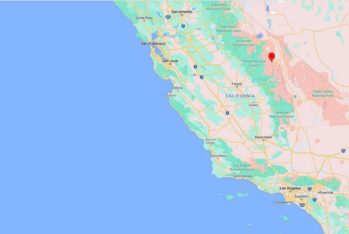
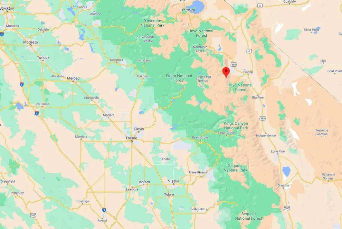
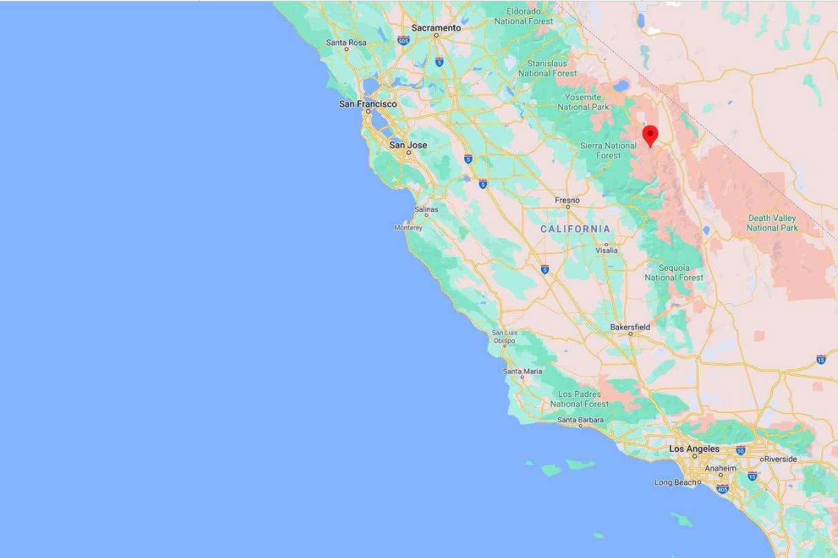
City/ Location: Bishop, CA See Map.
Zoning: Open Space 40
Photos 2, 4, 6, 8, 10, and 12 show the actual property and the surrounding lots. Photos 1, 3, 5, 7, 9, and 11 show the general area.
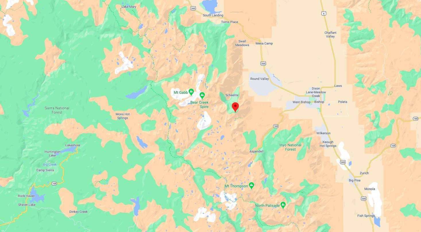
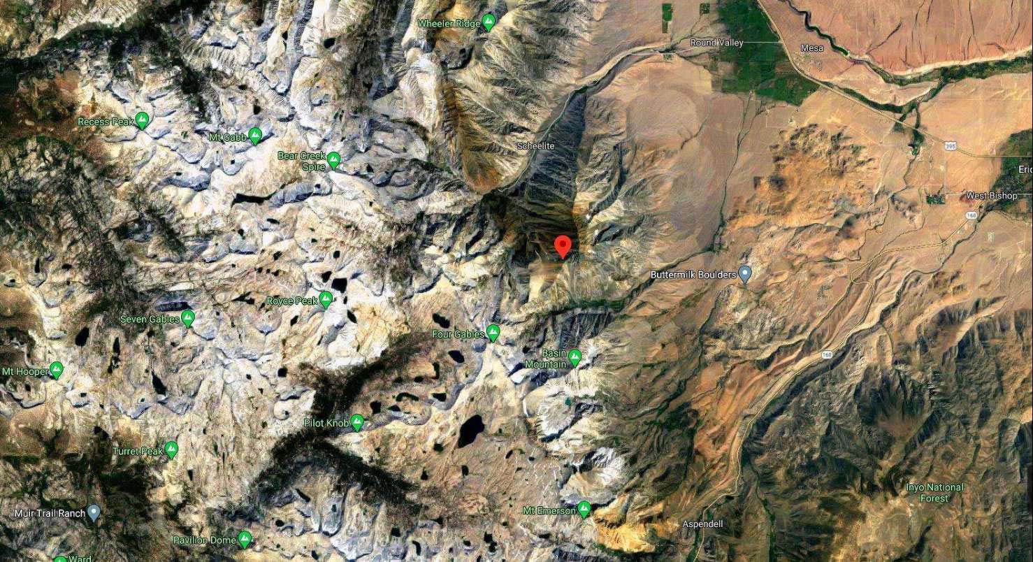
We have also included a County Parcel Map and an aerial Map to help you. The assessor’s parcel number to the property is in Inyo County APN # 009-270-04-00
Here is a link (including the GPS coordinates) to view the location of the property on Google Maps:
37.335920,-118.663824
(You may have to copy and paste this to use it.) Once the map pops up, simply use the zoom tool on the left side of that screen to view the map in more detail. You can even view an aerial photo by clicking on the Satellite tab in the upper right portion of that screen.
All information we have on this property is disclosed within the content of the listing page. Any and all other information on this property should be directed toward the city or county of which the property is located. Your due diligence should be performed, to ensure the property meets your needs and criteria.

